Description
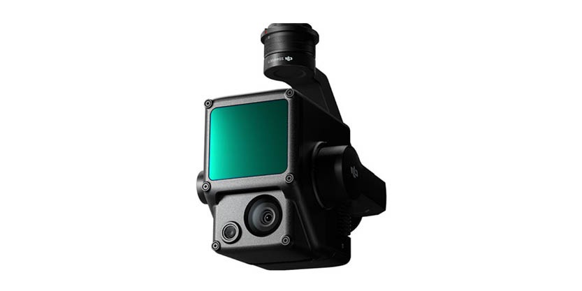
The Zenmuse L2 seamlessly incorporates frame LiDAR, a meticulously designed high-precision Inertial Measurement Unit (IMU) system, and a 4/3 CMOS RGB mapping camera. This integration enhances DJI flight platforms, offering enhanced precision, efficiency, and reliability for geospatial data acquisition. When paired with DJI Terra, it presents a comprehensive solution for 3D data collection and facilitates high-accuracy post-processing.
Features:
High Precision Vertical Accuracy: 4 cm / Horizontal Accuracy: 5 cm*
Exceptional Efficiency 2.5 km2 covered in a single flight*
Superior Penetration – smaller laser spots, denser point clouds
Detection Range* 250m @10% reflectivity, 100klx 450m @50% reflectivity, 0klx
